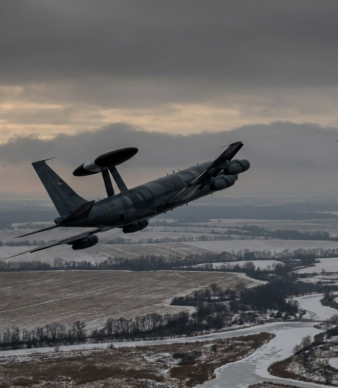
GNSS Interference: GPS Jamming & Spoofing in Aviation
GNSS interference is the deliberate jamming or spoofing of the satellite navigation signals that aircraft rely on for position, navigation and precise timing. Jamming denies the signal; spoofing replaces it with a convincing fake.
On this page · 16
- What is GNSS interference?
- How does GPS jamming differ from GPS spoofing?
- What is GPS jamming?
- What is GPS spoofing?
- Which aircraft systems does GNSS interference affect?
- Where and why is GNSS interference happening?
- How do crews and operators detect GNSS interference?
- How is GNSS interference mitigated?
- What does GNSS interference mean for aviation security and risk assessment?
- Frequently asked questions
- Is GPS jamming the same as GPS spoofing?
- Can GPS spoofing make an aircraft crash?
- How do pilots know if GPS is being spoofed?
- Which regions have the most GNSS interference?
- Does GNSS interference affect ADS-B flight tracking?
- Methodology and sources
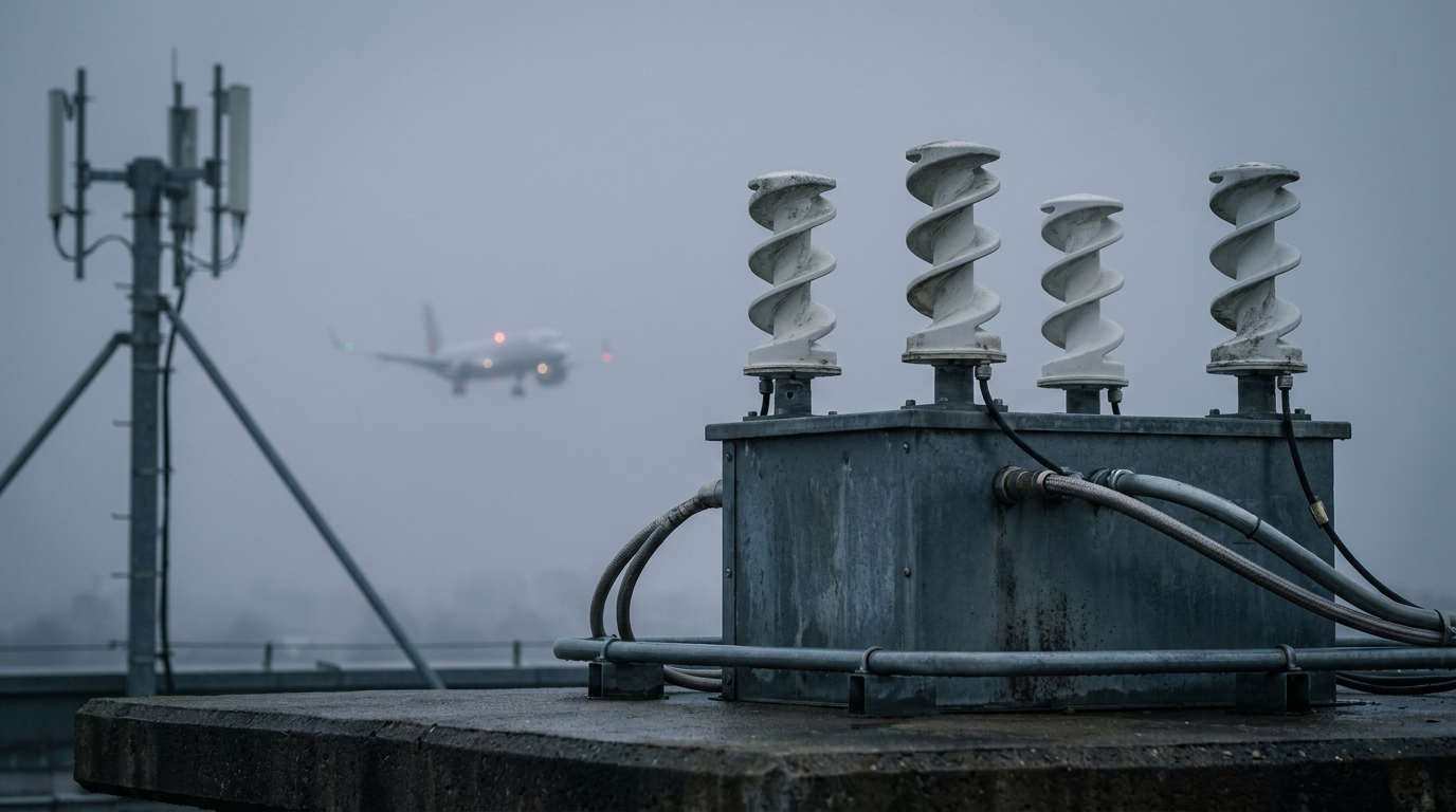
GNSS interference is the deliberate jamming or spoofing of the satellite navigation signals — GPS, Galileo, GLONASS and BeiDou — that modern aircraft rely on for position, navigation and precise timing. Jamming denies the signal; spoofing replaces it with a convincing fake. Both are now routine near conflict zones, and both can degrade aircraft systems that are not obviously about navigation at all.
GNSS integrity is one pillar of aviation security. An aircraft that cannot trust its own position is a security problem, not only a navigation nuisance. This guide explains what GNSS interference is, how jamming and spoofing differ, which systems they affect, where the problem concentrates, and how flight operations detect and mitigate it.
What is GNSS interference?
GNSS interference is any disruption — accidental or deliberate — of the signals broadcast by global navigation satellite systems. The term GNSS covers all the satellite constellations an aircraft can use: the United States' GPS, Russia's GLONASS, the European Union's Galileo and China's BeiDou. GPS is the constellation most aircraft default to, and it is operated by the U.S. Space Force. The signals these systems broadcast are extraordinarily weak by the time they reach the ground. That weakness is the root of the problem.
A satellite navigation signal arrives at the aircraft antenna at a power level far below the background radio noise. Recovering it depends on the receiver knowing exactly what to listen for. A modest transmitter on the ground can therefore overpower or imitate a signal that travelled roughly 20,000 kilometres from orbit. This asymmetry is why interference is cheap to cause and hard to defeat.
Interference splits into two families with very different effects. The first is denial, where the signal is drowned out and the receiver simply loses its fix. The second is deception, where the receiver is fed false signals and computes a confident but wrong position or time. Aviation safety bodies treat these as distinct hazards because they fail in opposite ways: one tells the crew nothing is available, the other tells the crew something false.
How does GPS jamming differ from GPS spoofing?
Jamming denies a position; spoofing falsifies one. That single distinction drives almost everything else about how each is detected and managed.
What is GPS jamming?
GPS jamming is the transmission of radio noise on the GNSS frequencies to overpower the genuine satellite signals. The receiver loses lock and reports that it has no valid position. Jamming is, in one sense, the more honest failure: the aircraft knows it has lost GNSS. Modern flight management systems are designed to cope with this by reverting to other sensors. The operational cost is degraded navigation performance, loss of GNSS-based approach capability, and a higher crew workload, rather than a silent error.
Jamming is also indiscriminate. A jammer cannot target one aircraft; it denies the signal to everything within range, including aircraft, ships, and ground users far from the intended target. This is why jamming around a conflict zone produces a wide footprint of affected flights well outside the fighting itself.
What is GPS spoofing?
GPS spoofing is the transmission of counterfeit satellite signals crafted to make a receiver compute a false position, a false time, or both. Unlike jamming, spoofing is designed to be believed. A successful spoof can place the aircraft's computed position kilometres from its true location without any obvious loss-of-signal warning. The European Union Aviation Safety Agency (EASA) has issued repeated safety bulletins warning operators that spoofing can corrupt navigation and timing in ways that are not immediately obvious to the crew.
Spoofing's most insidious effects are on timing rather than position. GNSS receivers are also precise clocks, and several aircraft systems depend on that clock. EASA and the International Air Transport Association (IATA) convened an industry workshop on GNSS interference in 2024 precisely because timing corruption was producing knock-on failures that crews did not associate with navigation. A spoofed time can, in documented cases, trigger spurious system warnings or temporarily lock crews out of equipment that validates its own clock.
Which aircraft systems does GNSS interference affect?
GNSS interference reaches further than the moving map. Many systems that consume a satellite-derived position or time can misbehave when that input is denied or falsified.
Automatic Dependent Surveillance–Broadcast (ADS-B) is the clearest example. ADS-B broadcasts an aircraft's own GNSS position to air traffic control and to nearby aircraft. When GNSS is spoofed, the broadcast position can be wrong while still appearing valid, which is one reason public flight-tracking sites sometimes show aircraft jumping across the map near interference hotspots.
Terrain awareness systems are a second concern. Ground proximity warning systems compare the aircraft's position against a terrain database. A spoofed position can place the aircraft over false terrain and produce nuisance pull-up warnings, or, in the worse direction, suppress a warning that should have fired. Flight crews are trained to treat such alerts seriously, so spurious warnings carry a real workload and distraction cost.
Timing-dependent systems round out the picture. Some communication, recording and navigation-update functions rely on an accurate GNSS time reference. EASA has documented instances where corrupted GNSS time disrupted these functions. The lesson industry bodies draw is that GNSS interference is a systems problem, not a single-instrument problem.
Where and why is GNSS interference happening?
GNSS interference concentrates around conflict zones and contested borders, because the same electronic-warfare equipment that protects military assets from satellite-guided weapons also denies civil GNSS over a wide area. EUROCONTROL has reported that interference affecting civil aviation rose sharply as electronic warfare intensified around several active and frozen conflicts. The effect is geographic: the closer a route runs to the source, the worse the degradation.
This guide deliberately does not freeze country-level claims into static text, because the interference map changes week to week. For current, location-specific conditions, consult the live flight risk feed rather than any fixed list. For a worked example of how one region's interference was measured and interpreted over time, see our Baltic GPS jamming case study.
The link to conflict risk is direct. GNSS interference is one of the signals AeroVigil weighs in conflict-zone overflight risk, alongside airspace restrictions and military activity. A jamming footprint that widens over a route is a leading indicator that the threat environment beneath it is changing.
How do crews and operators detect GNSS interference?
The first line of detection is the aircraft itself. Modern receivers run integrity-monitoring checks that compare satellite signals against each other and flag inconsistencies, and a sudden loss of GNSS accuracy or an integrity alert is the most immediate warning. Crews also cross-check the GNSS position against independent sensors, primarily the inertial reference system, which does not depend on any external signal.
The second line is the published picture before departure. States issue a NOTAM when GNSS interference is known or expected in an area, and a SIGMET or operator advisory may add detail. These notices let flight planners route around the worst areas or brief crews on what to expect. Reading them is a core part of understanding NOTAMs and airspace restrictions.
The third line is the wider reporting loop. Crews who encounter interference are encouraged to file a PIREP or operator report, and aggregated reporting is how regulators such as EASA and the U.S. Federal Aviation Administration (FAA) build their picture of where interference is spreading. AeroVigil's own monitoring treats no single observation as confirmation; corroboration across independent sources is what turns a report into an assessed signal, consistent with our methodology.
How is GNSS interference mitigated?
There is no single fix, so mitigation is layered across equipment, procedure and planning. The core principle is that GNSS must never be the only thing the aircraft trusts.
At the equipment level, multi-constellation receivers that combine GPS, Galileo, GLONASS and BeiDou are harder to deny than single-constellation receivers, because a jammer or spoofer must defeat several signal structures at once. Inertial reference systems provide a self-contained position that drifts slowly and can carry the aircraft through a GNSS outage. Where they remain available, conventional ground-based navigation aids such as VOR, DME and NDB give an entirely independent fix, which is one reason regulators have been cautious about decommissioning them.
At the procedural level, crews are trained to recognise interference, revert to conventional navigation, advise air traffic control, and avoid acting on a single suspect position. EASA and ICAO guidance emphasises cross-checking and a healthy scepticism toward a GNSS position that conflicts with other sensors. The International Civil Aviation Organization (ICAO) has flagged GNSS interference as a navigation-safety concern requiring coordinated state and operator action.
At the planning level, operators route around known interference where fuel and airspace permit, brief crews on expected degradation, and confirm that approaches at the destination do not depend solely on GNSS. This is where pre-flight risk assessment and live monitoring meet: knowing the interference picture before departure turns a mid-flight surprise into a planned contingency. AeroVigil's platform folds GNSS interference signals into that pre-flight picture.
What does GNSS interference mean for aviation security and risk assessment?
GNSS interference matters to security because it attacks trust in information, not just hardware. An aircraft with a spoofed position is making decisions on false data, and false data is a more dangerous failure than no data. This is why navigation integrity sits inside aviation security rather than beside it.
For risk assessment, interference is both a hazard in its own right and an indicator of something larger. A persistent jamming footprint signals active electronic warfare, which usually accompanies elevated kinetic risk on the ground below. Treating GNSS interference as an isolated avionics issue misses that signal. Treating it as one input among many — alongside airspace restrictions, military activity and conflict-event tempo — is what lets an operator make a defensible go, reroute, or no-go decision.
The practical takeaway is consistent across the safety bodies. GNSS is a powerful tool and a single point of failure. Operators that plan for its loss, cross-check its output, and monitor where interference is spreading are the ones least surprised when a route turns hostile.
Frequently asked questions
Is GPS jamming the same as GPS spoofing?
No. Jamming denies the GNSS signal so the receiver reports no position, while spoofing feeds the receiver false signals so it computes a confident but wrong position or time. Jamming is usually obvious to the crew; spoofing is designed not to be.
Can GPS spoofing make an aircraft crash?
Spoofing alone is not designed to crash an aircraft, and trained crews are expected to detect and reject a position that conflicts with their other sensors. The real risk is degraded situational awareness, nuisance warnings, timing failures and increased workload, which is why layered mitigation and cross-checking matter.
How do pilots know if GPS is being spoofed?
Crews look for a GNSS position that disagrees with the inertial reference system, sudden unexplained jumps in position or time, integrity alerts from the receiver, and spurious terrain or system warnings. A pre-flight NOTAM warning of interference primes the crew to expect it.
Which regions have the most GNSS interference?
Interference concentrates around active and frozen conflict zones and contested borders, but the map shifts continually, so AeroVigil points operators to the live flight risk feed rather than a static list. The Baltic GPS jamming case study shows how one region was tracked over time.
Does GNSS interference affect ADS-B flight tracking?
Yes. ADS-B broadcasts an aircraft's GNSS-derived position, so spoofing can make the broadcast position wrong while it still looks valid, which is why flight-tracking sites sometimes show aircraft jumping near interference hotspots.
Methodology and sources
This guide draws on published guidance from EASA, ICAO, EUROCONTROL, IATA and the FAA, and on AeroVigil's own monitoring of GNSS interference signals. Hard claims are attributed to the issuing body; AeroVigil treats no single observation as confirmation and assesses signals through corroboration across independent sources, as described in our methodology. Location-specific conditions change continually and are not frozen into this article — consult the live flight risk feed for current status. Related terms: GNSS, GPS jamming, GPS spoofing, ADS-B.